![]() :
Picture from video capture
:
Picture from video capture
Tornadic Chase Through north-central TX (Dave Lewison on Cloud 9 Tours)
Click any image to enlarge to full size...
  |
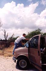
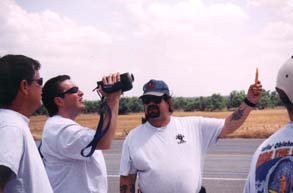
Just southwest of Wichita Falls, we waited near the town of Seymour for
the cap to break. Dewpoints were way up in the upper 60's and lower 70's with CAPE
estimated at over 5000 J/kg. The shear was pretty evident as you can see from these
leaning turkey towers. Charles is Rain-X'ing the windshield in anticipation of a good
chase. In this picture, Jim Leonard, Keith Brown and RJ Evans watch the sky. |
| Not long after this, a cell finally fired to our southwest. We headed out
that way oin Rte. 277 towards Haskell. Just north of town we observed a nice mesocyclone
with curving inflow bands. It tried to form a wall cloud, but got undercut by a surge of
outflow from the precip core. This outflow kicked up a lot of dirt.
|
|
 |
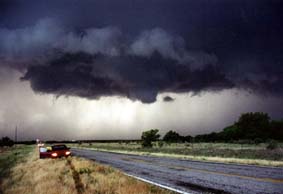
Going east on 380, we had just about given up on this storm, when reports
of a tornado on the ground got our attention. A bit east of Throckmorton, we watched a rapidly rotating wall cloud form directly overhead. I could really see the funnel in its center rotating. The wall cloud really began to wrap up drawing in ragged clouds. A small dust whirl formed briefly below this funnel shortly after this photo was taken. |
 |
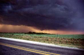
A bit further east on 380, we watched a new meso begin to take shape. It
had a persistent funnel, but it never appeared to touch ground. We were treated to a fantastic gold-backlit sunset. |
May 11 | May 12 | May 16 | May 17 | May 18 & 19 | May 22 | May 24 | May 25 | May 26 | May 27
Email me at: lewisd2@rpi.edu