![]()
CHASE SEASON 2007
This is a temporary page where I'll post short logs and pictures,
hopefully on a daily basis.
    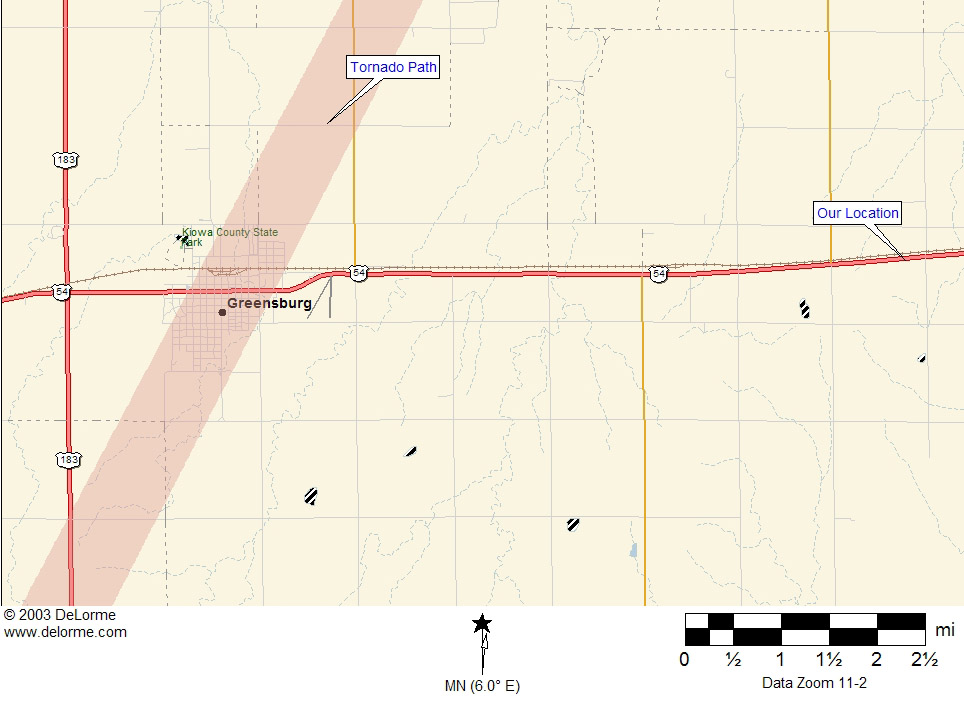 Map showing our location in relation to the Greensburg tornado. |
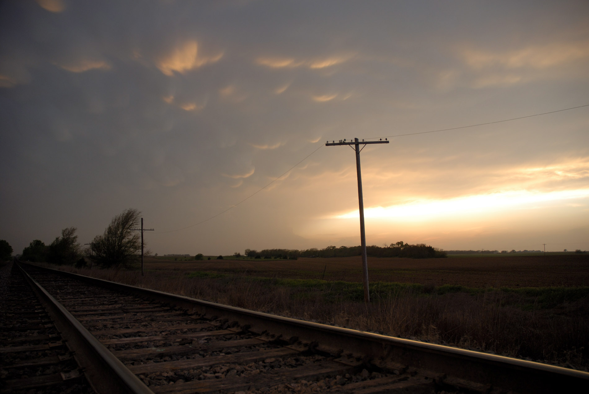
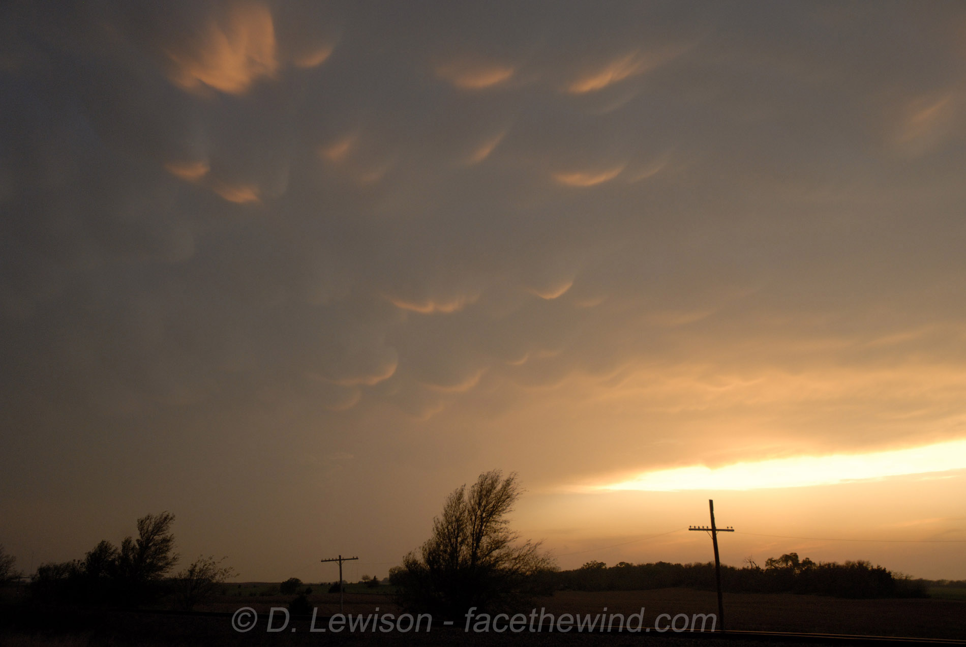
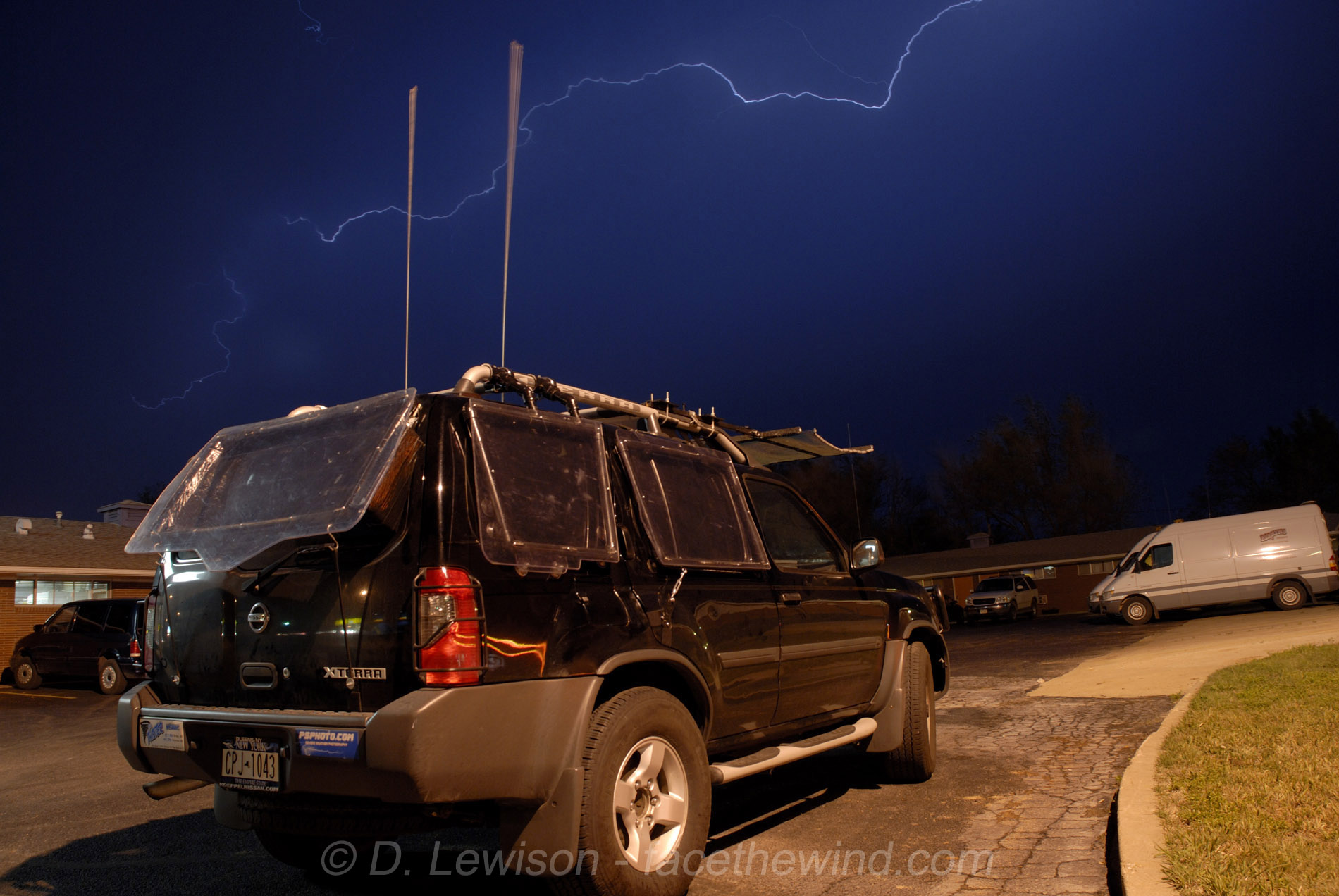
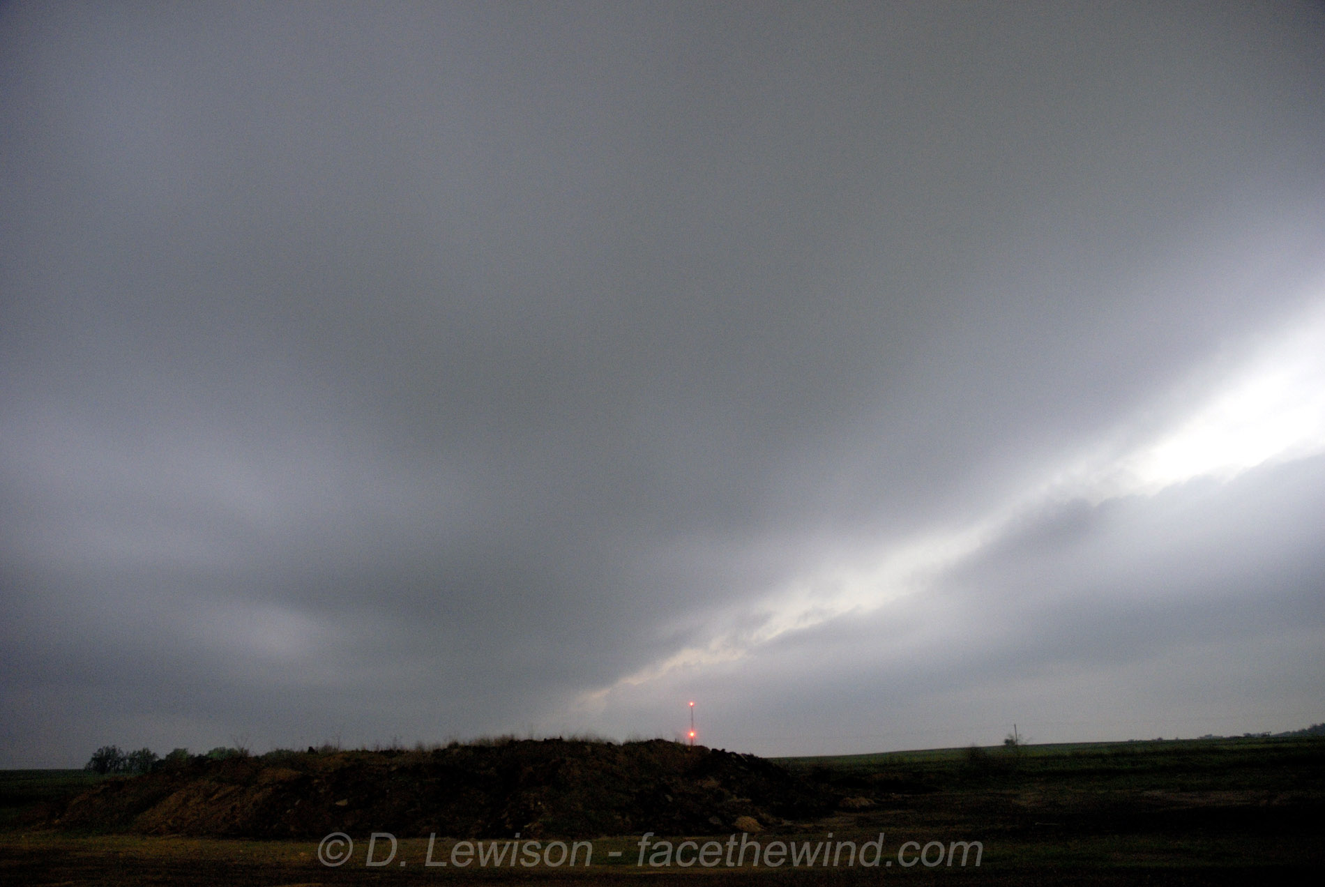
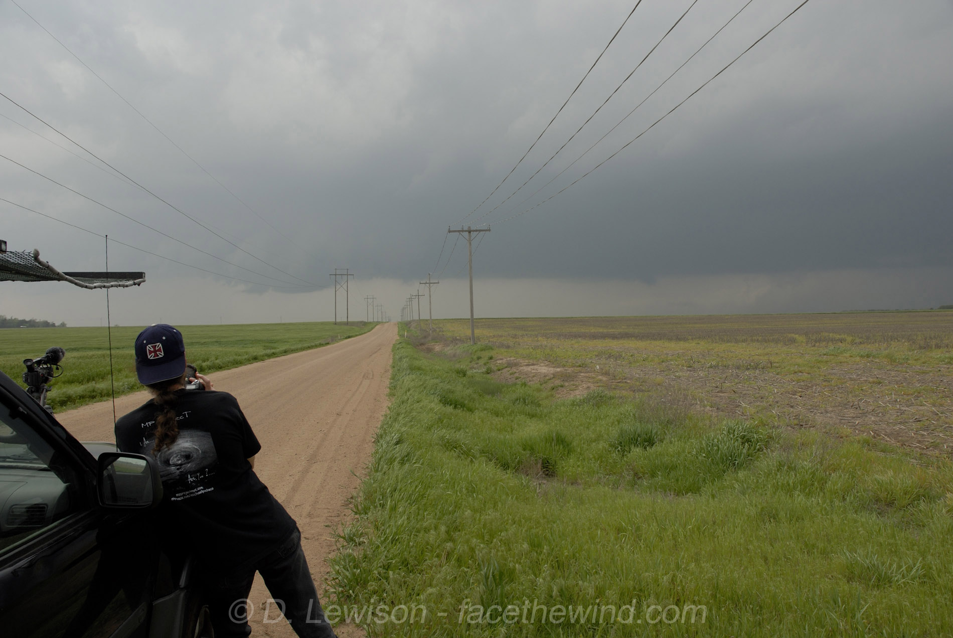
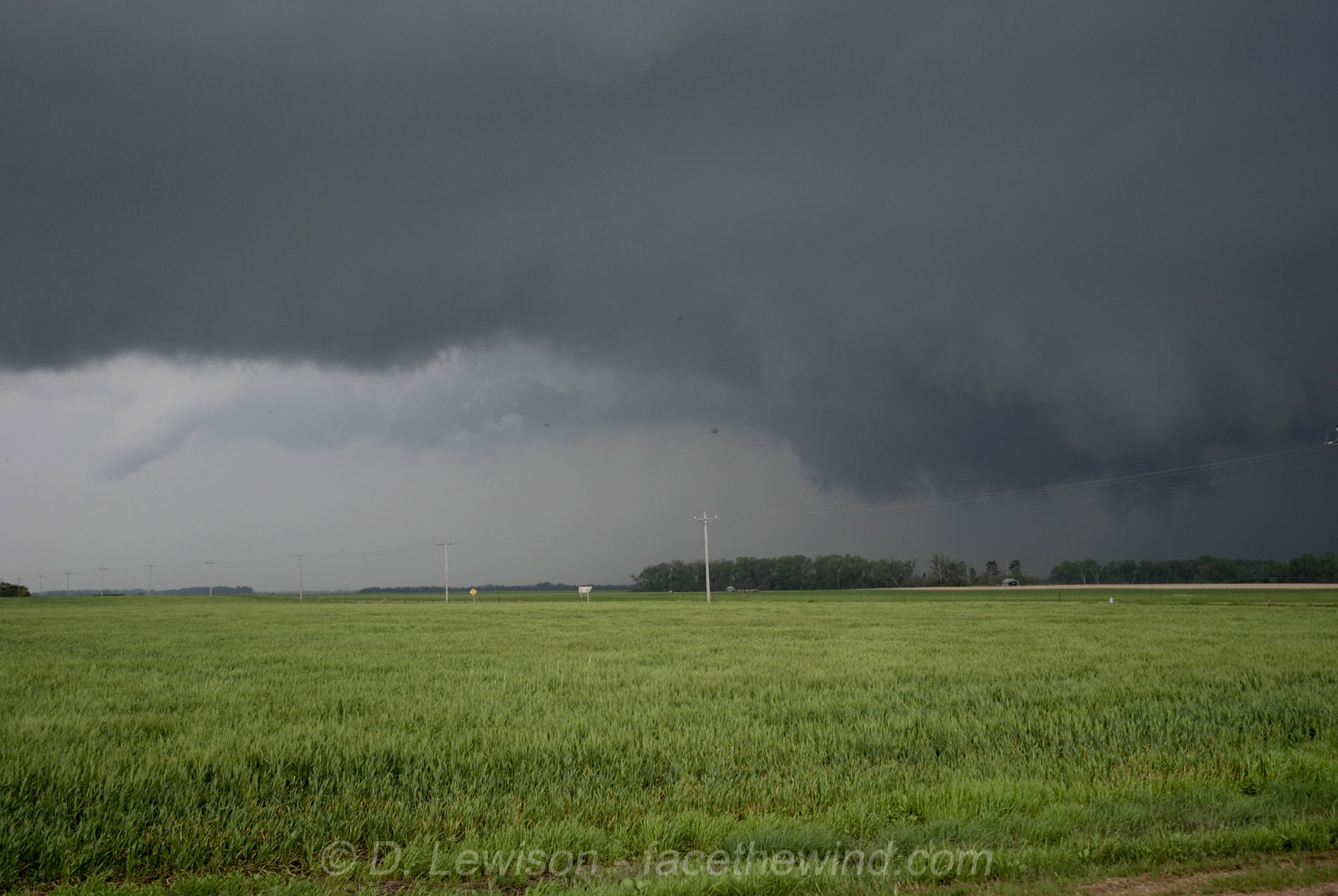
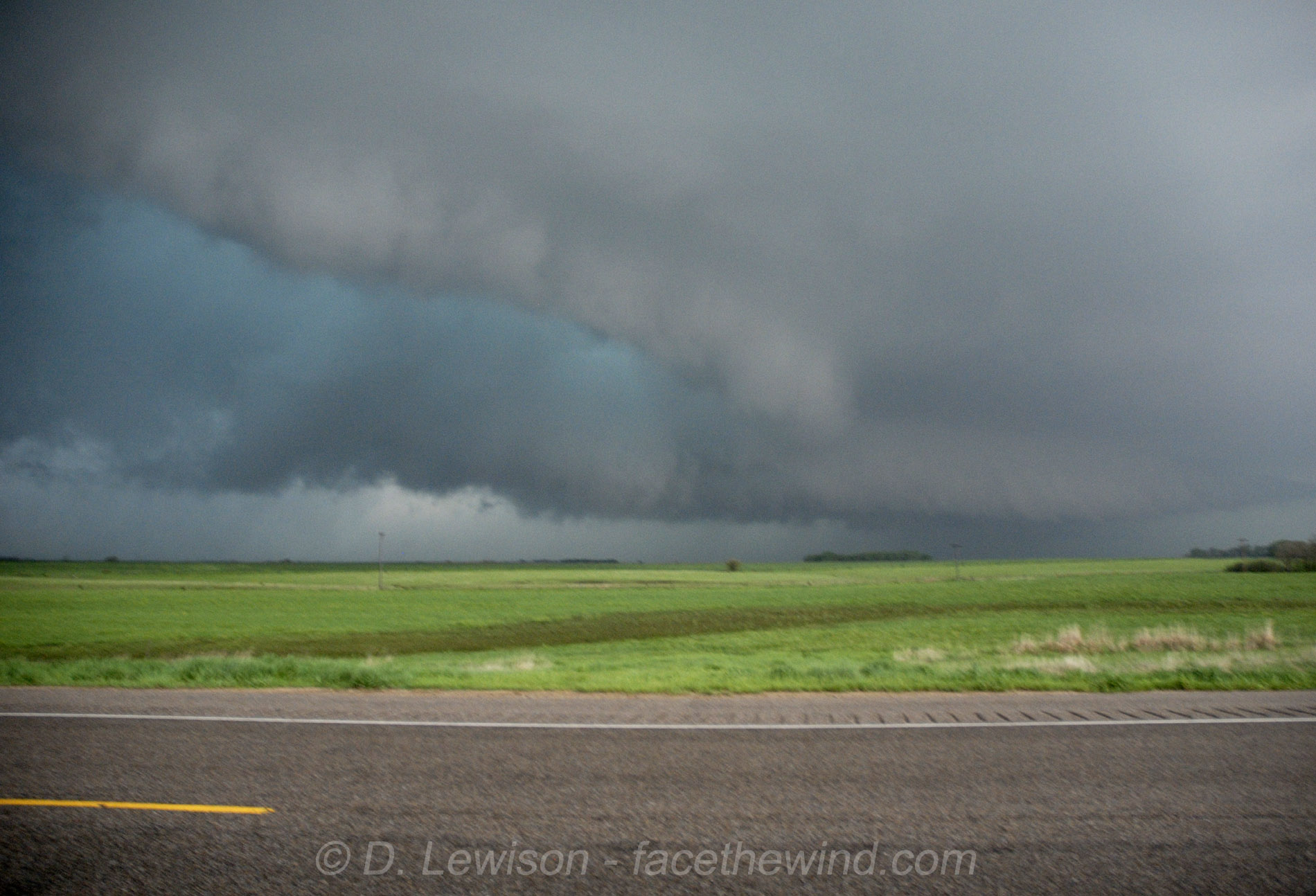
MAY 4, 2007: Drove straight from New York to Great Bend, KS. Waited around most of the day for the cap to break in this area, but it never did. Around 8pm, we decided to go after storms coming into KS from the SW. Along the way, I took a few photos of the great mammatus on the underside of the storm's anvil. We arrived in Pratt and took Hwy 54/400 westward to around 6 miles east of Greensburg. XM radar indicated an amorphous "blob" without much definition, but the 3 simultaneous shear markers on it told me this was indeed a supercell, and should be treated with caution. Since it was night time, I didn't want to risk following a meso I couldn't see, especially from the east. And besides, the core had already begun crossing the road, preventing us from going further west. I had planned on coming around the south side after the core crossed, and following it through Greensburg and then up Hwy 183. (I'm glad I didn't do that, as we would have gotten into town moments after the tornado struck.) We backtracked to Pratt, and found a place to stay as we shot some lightning. The lower right image is the storm as it pulled away to the northeast. Note the LONG inflow tail on the right. |
      |
MAY 5, 2007: Started the day in Pratt KS. The first good storm of the day began spinning just north of town. The top 2 images show a well-defined wall cloud, but no tornado. Continued to follow the storm northeast to Stafford KS. The middle 2 images show a funnel/tornado on the left and a new mesocyclone to the right. Both of these touched down in low contrast. Chase convergence was high, with many vehicles lining the roads....big chase day on a Saturday...it's to be expected. The last image shows the next storm near Great Bend. An HP monster, with greenish hail core. View is to the west, with the forward flank shelf visible in the background, with RFD wrapping in. Tornado is forming in the center of the frame. This one only had a brief dusty spin-up. |
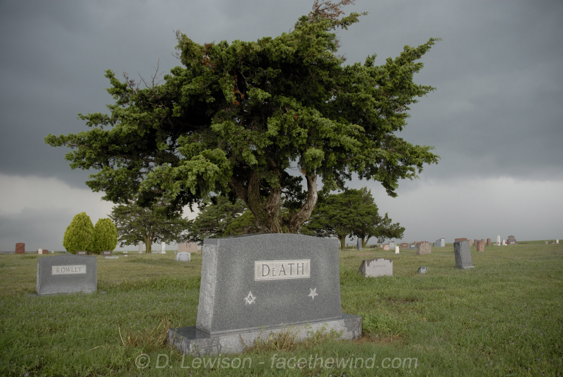 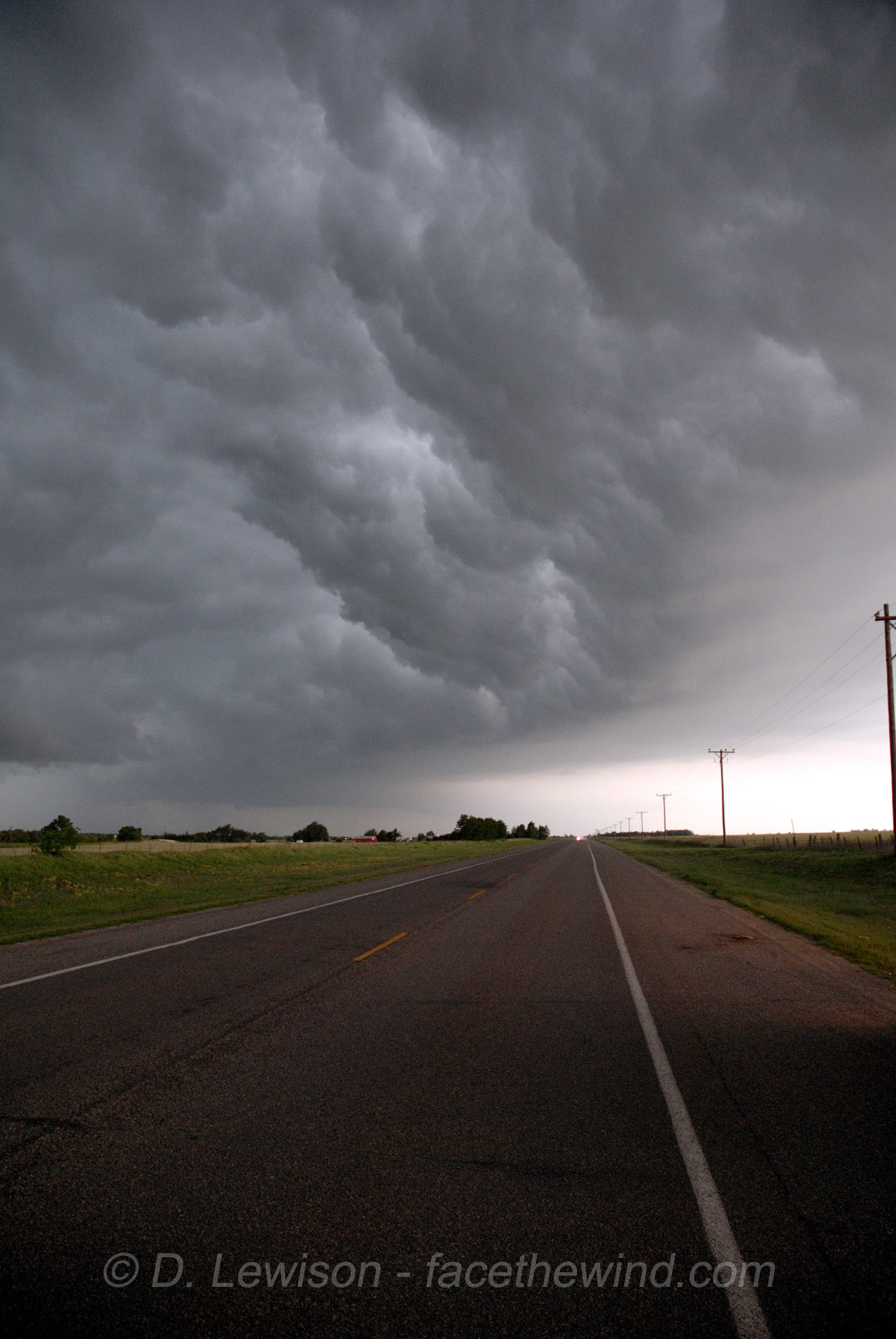   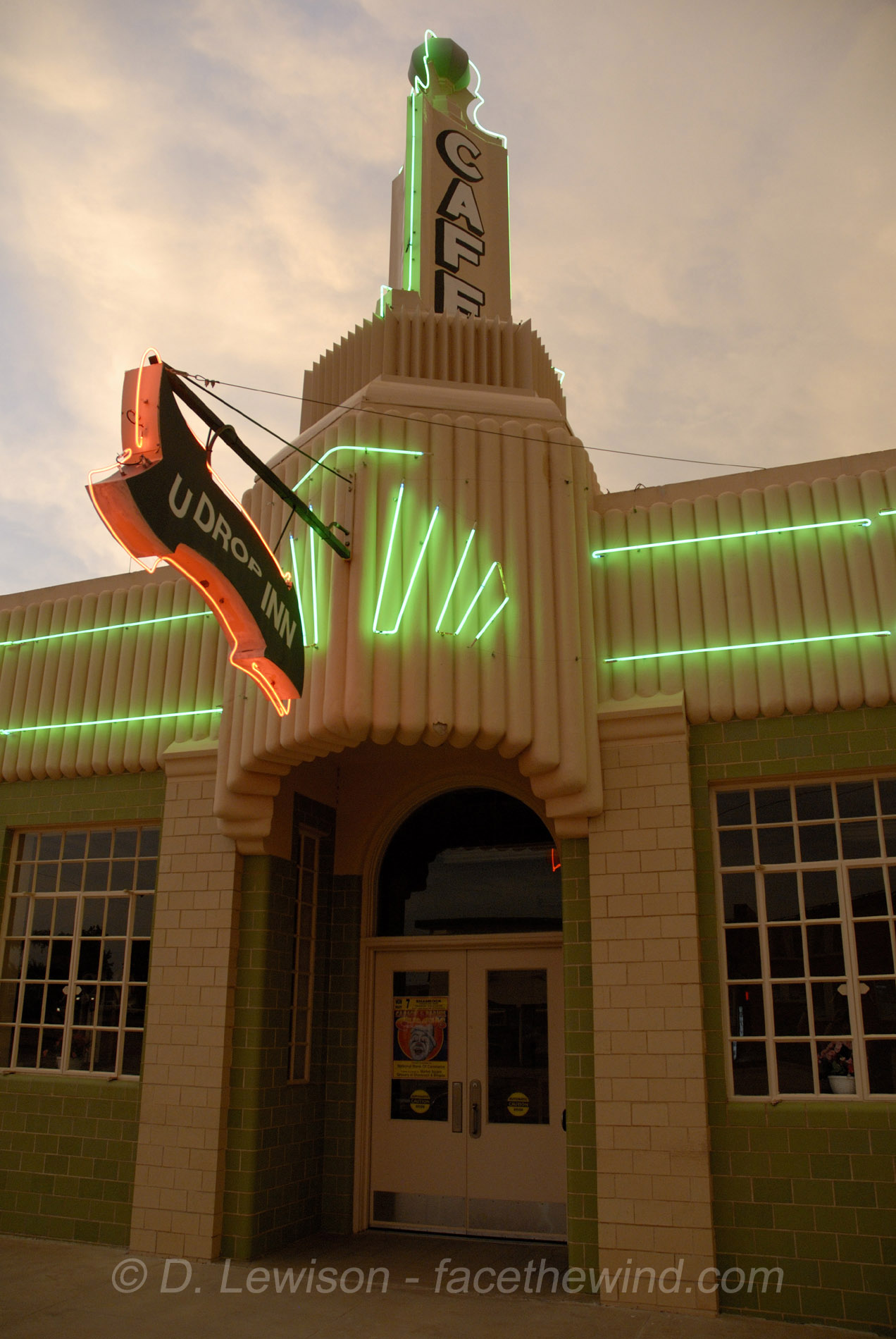 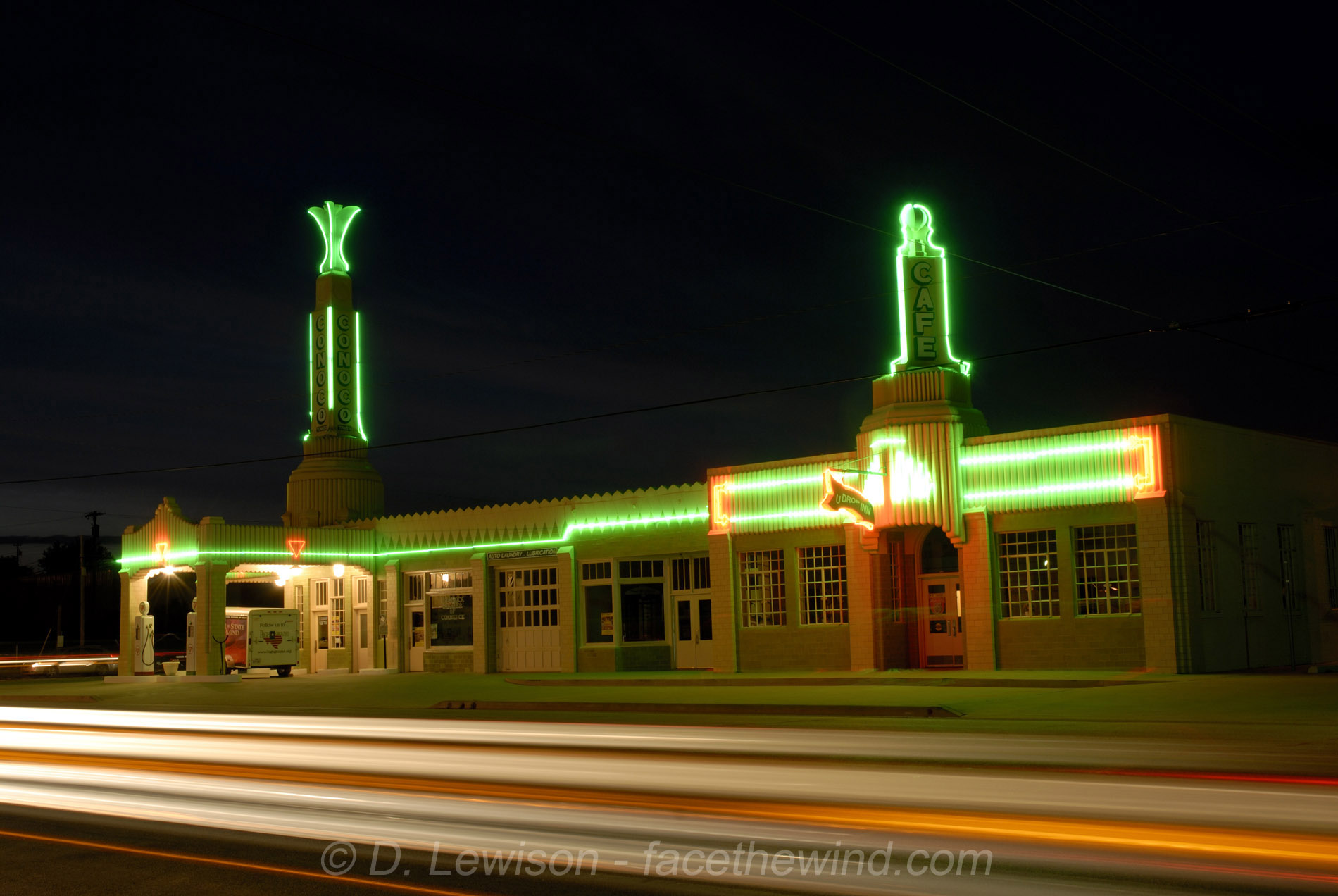 |
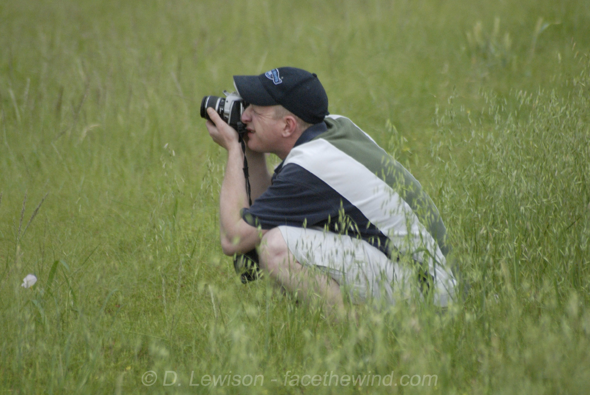
MAY 6, 2007: Started in Hutchinson KS and headed for western OK. We hung out for a while with Cloud9 Tours near an old cemetery. Apparently, "Death" is dead. :-) These storms gusted out pretty quickly, but made for some pretty photos. We ate dinner in Shamrock TX, across the street from the historic Conoco station in the last 2 photos. |
 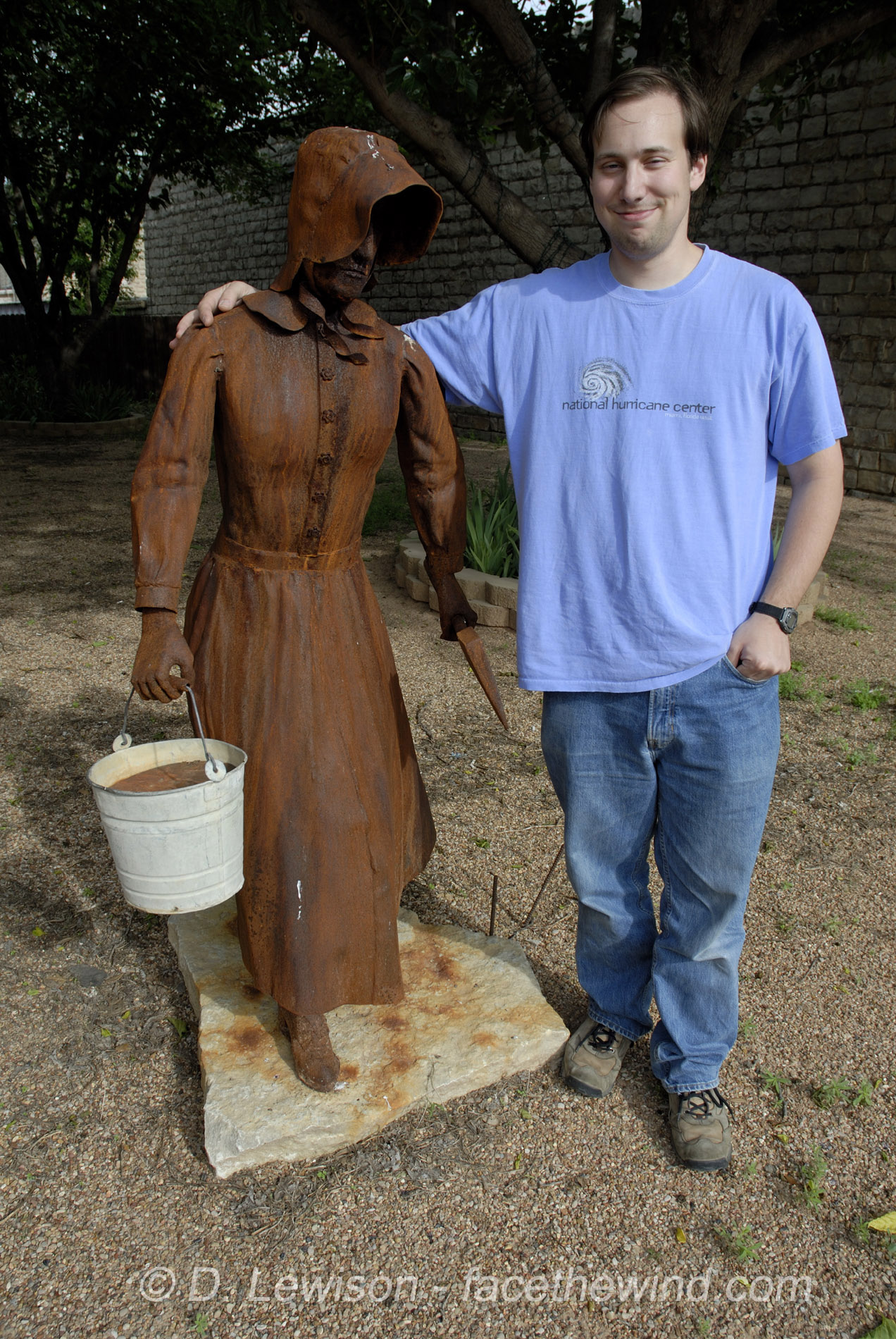  |
MAY 7, 2007: Started in Childress TX. The good moisture kept getting shoved further south. We went down to near I-20 in the hope of getting something to break the cap, but nothing did. We were equidistant from the only 2 storms in all of TX. And we were too far to get to either of them. We spent a good part of the day in Throckmorton TX just getting data and taking pictures of each other. That's me with some pioneer lady statue. And that's Mike Theiss & Brad in the car, disgusted with the day. |
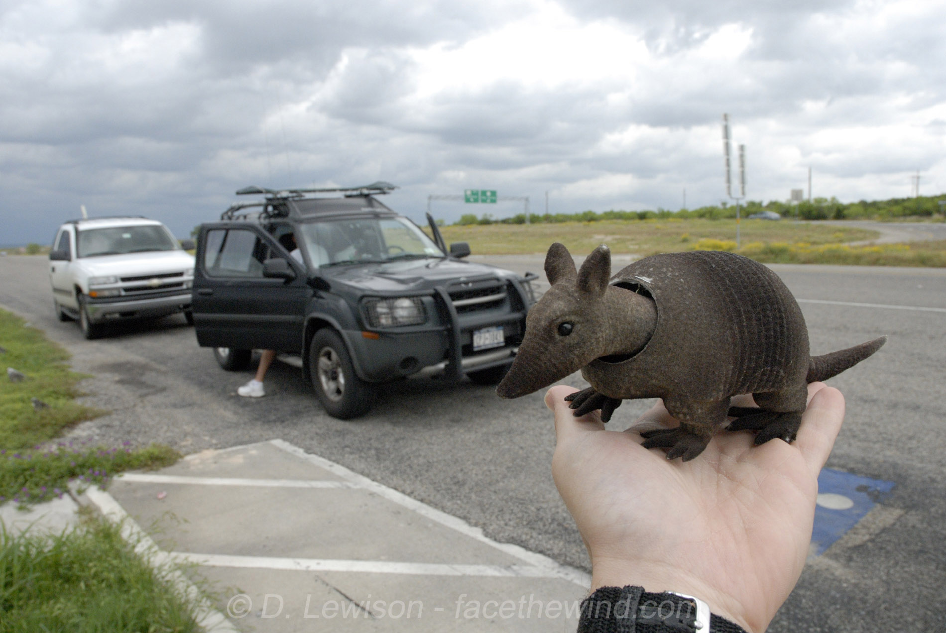  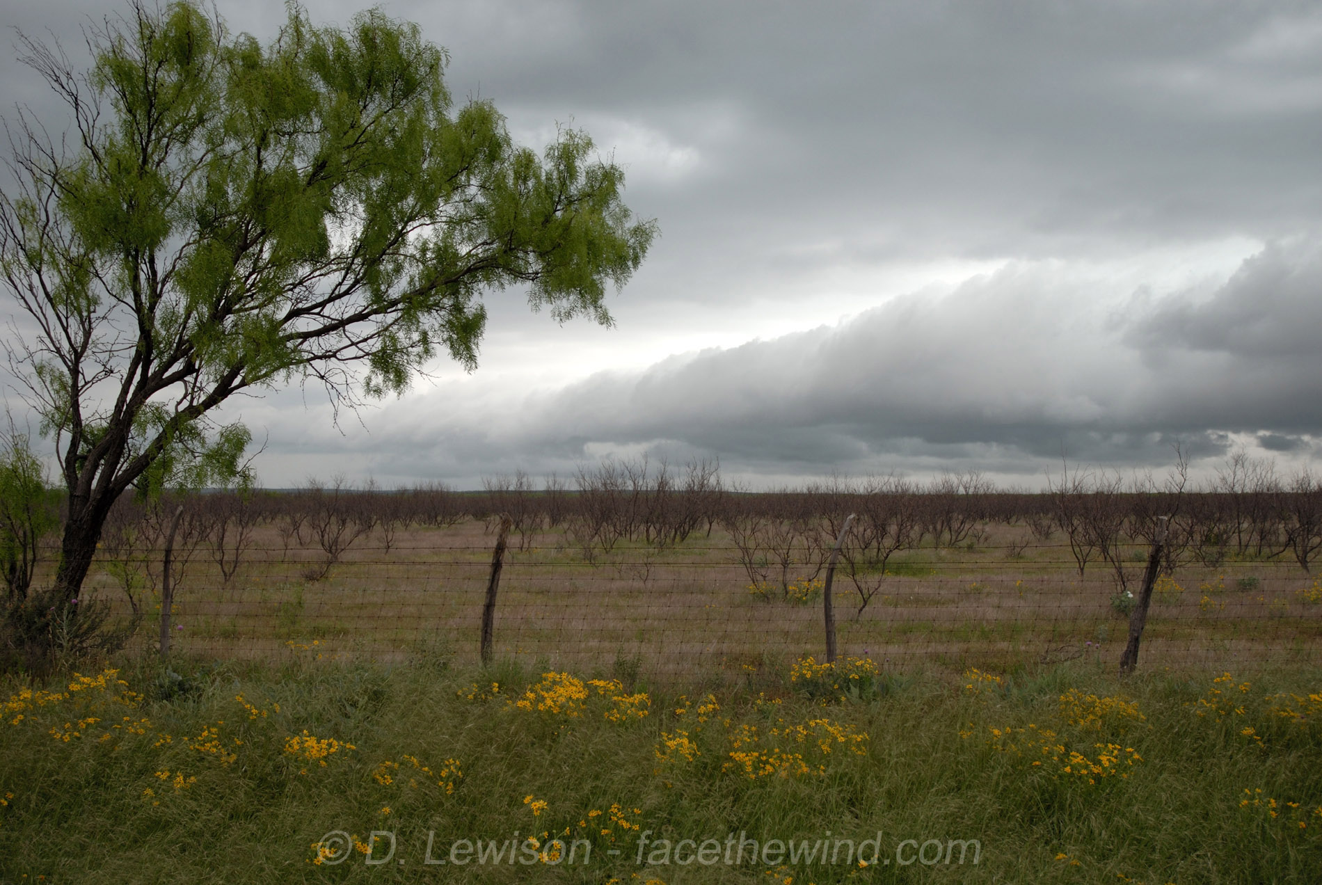  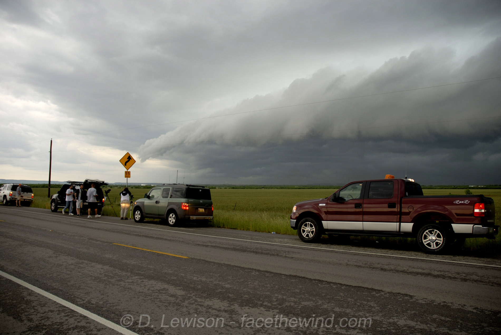 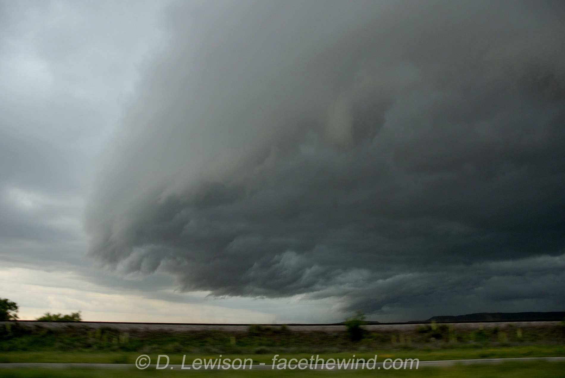 |
MAY 8, 2007: Started in Abilene TX. Moisture was being scoured out by a big squall line in western TX, but there was still a chance ahead of the line. We waited in Sterling City, where I found an armadillo mascot. A TX state trooped stopped by and Scott chatted him up...he seemed fascinated by our hail guards (and hail DENTS!). But no use waiting...the squall line caught up, making for another washout. But some pretty shelf cloud pictures nontheless. |
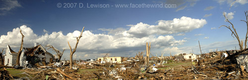 |
May 10, 2007: Tornado Damage Photos from Greensburg KS Started in Wichita Falls, TX. The rest of the chase trip looked uneventful, so we decided to call it an head back to NY. On our way north, we wanted to take a trip up to Greensburg KS, the town that had been utterly destroyed by the previous Friday's tornado (5/4/07). |
All Images c. 2007 Dave Lewison. No reproduction without permission.
| Go back to MAIN PAGE |
[an error occurred while processing this directive]