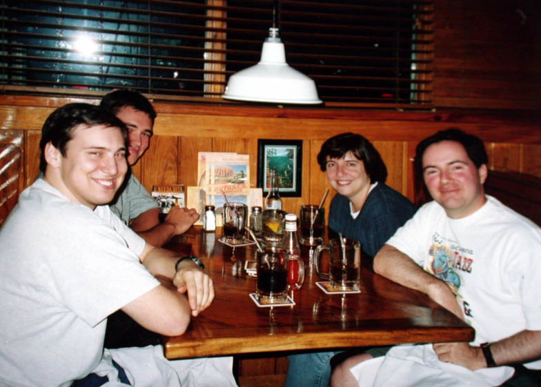
- I arrived in Norman OK on
- Cloud9 Tours and had dinner
- at the local Outback Steakhouse.
|
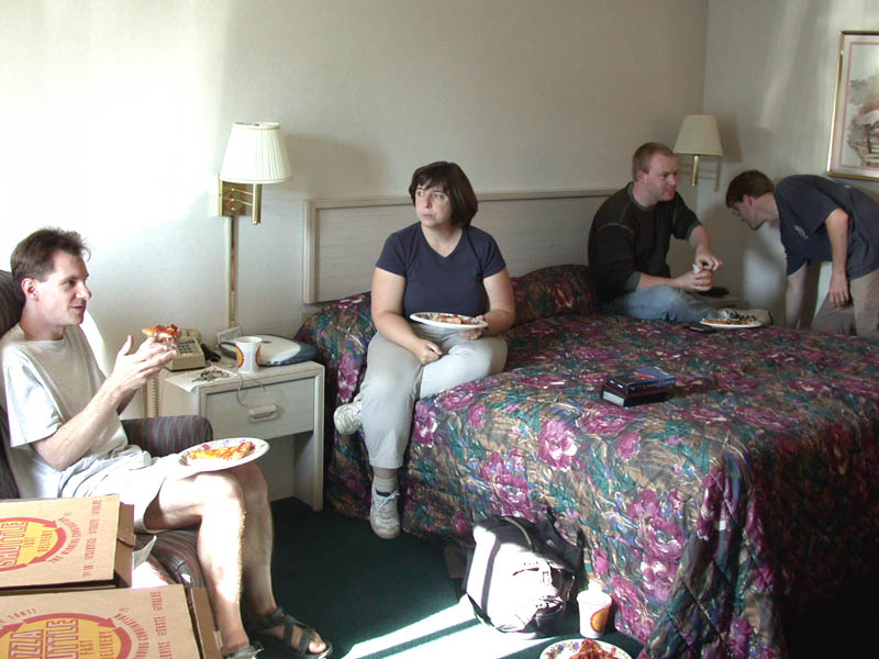
- May 19 was dull, so we met up
- with George Kourounis and his
- fellow Canadian chasers for
- some pizza and the Simpsons!
-
|
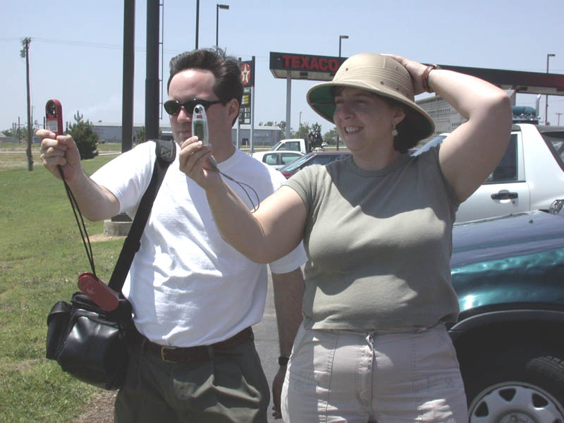
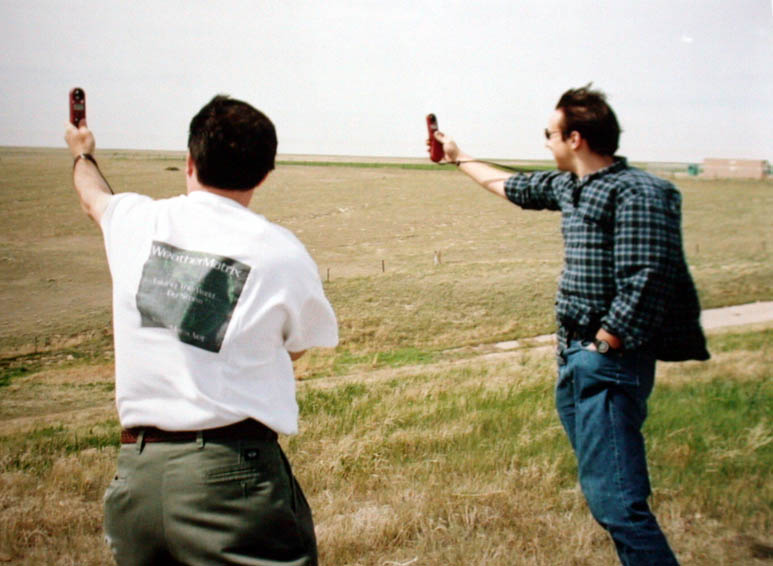
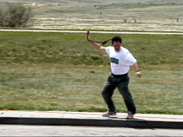
- Dueling anemometers!
- On May 20, Bill, Chris and I
- headed up north for the remote
- possibility of storms the following
- day in WY.
|
-
|
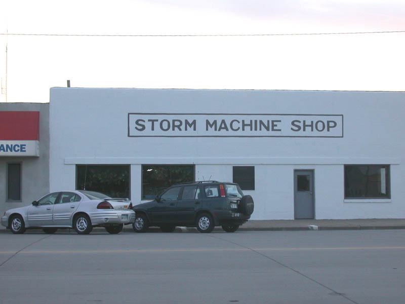
- Scott City KS. I wish
someone
- would make storm machines!
|
-
|
- May 21 in Nebraska. The surface
- low had deepened a lot, and was
- pulling in SE winds at 30mph.
- Too bad there was no moisture
- to go with it!
|
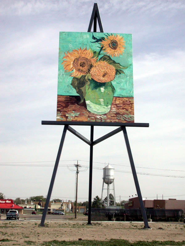
- Giant Van Gogh painting in
- Goodland KS.
|
- The SE wind picked up to nearly
- 50mph on I-80 in Nebraska!
|
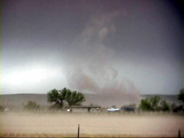
- The storms that did form in WY
- were moisture-starved. They
- produced numerous
- gustnadoes though.
|
- Another gustnado.
-
|
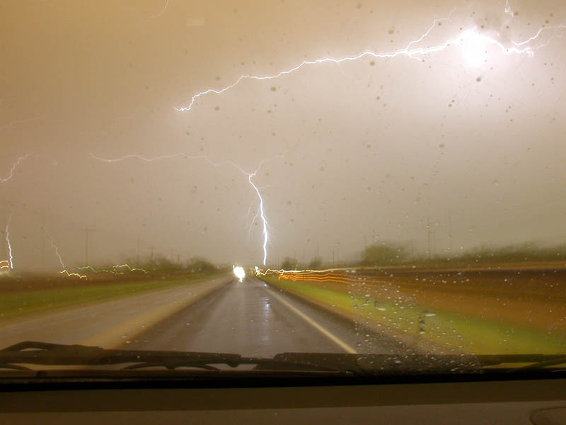
- One of the few lightning strikes
- from these storms.
|
- his pals in North Platte.
- Photo courtesy Bill Hark.
|
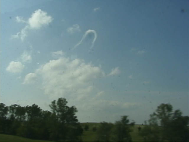
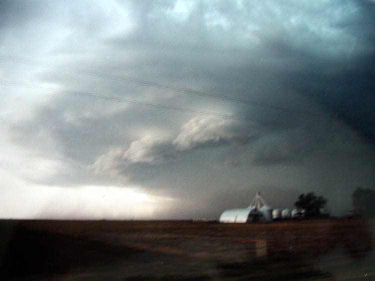
- May 22 in N. Central KS.
- The best horseshoe
- vortex I've ever seen!
|
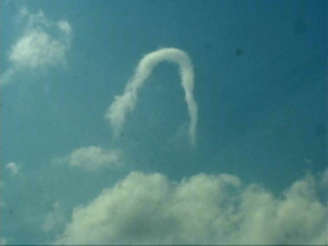
- Very well-defined vortex!
|
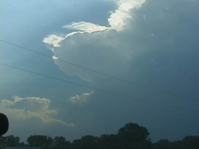
- May 22. Storms begin to fire in
- Smith County, KS.
|
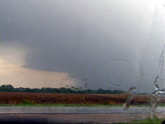
- Near Smith Center, the northern
- storm takes on a decent meso
- and wall cloud appearance.
- Looking south.
|
- Further east, an inflow notch
- becomes visible. The storm was
- tornado-warned.
- Looking south.
|
-
|
- The storm began gusting out,
- producing a shelf-like appearance.
|
-
|