
 |
Started the day in Denison, TX, after the previous day's
complete washout in the TX panhandle. (The huge outflow boundary that scoured out all
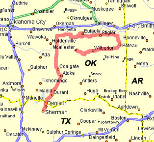
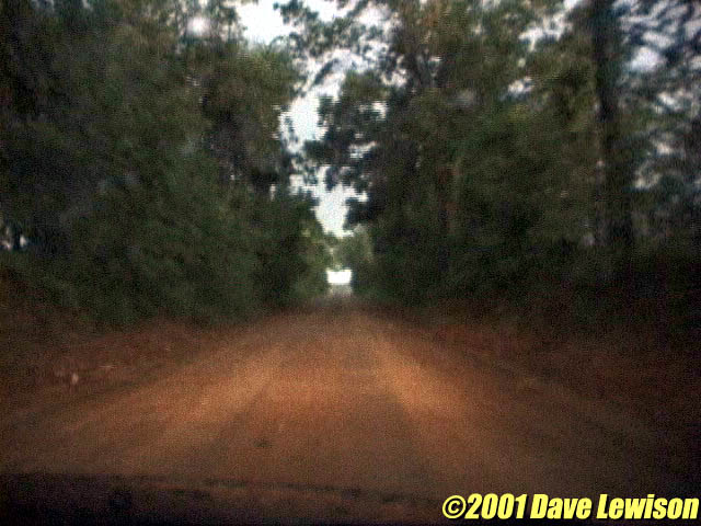
moisture, and with it, any hope of storms). We hung out in Sherman, TX, at a local truck stop getting data and enjoying the assortment of pies they had. Very good! There was a large instability bulls-eye in our neighborhood, but the main upper dynamics looked to be setting up further north. A stalling outflow boundary near I-40 sealed our decision to head north towards Atoka. A quick data stop in Atoka revealed two storms beginning to fire to our north. Both were kind of spindly looking, but we decided to target the western most cell, thinking it would make the easiest intercept. |
  |
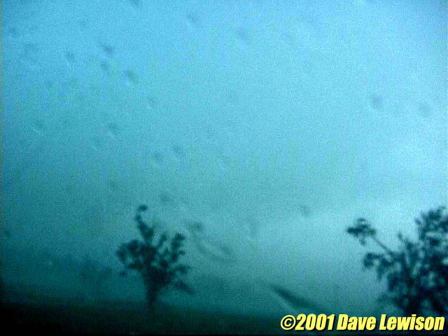
Near Wetumka, OK, we got a view of the storm's base to the
west. It had a very suspicious looking protrusion, but we later saw that this feature was
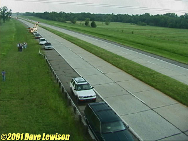
not rotating much. Hearing the tornado reports just to our east near Dustin, we decided to head that way to investigate. We stopped on an overpass and saw the utter confusion happening on the Indian Nation Turnpike, near the town of Hanna. These people were not chasers, just worried travelers. |
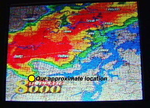  |
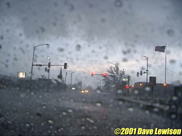
Now within range of the Tulsa TV stations, we got a clearer view of what we were up against. Our location on Rte. 9 is shown in the picture. Unfortunately, we had to deal with a little eastern Oklahoma topography first. |
  |
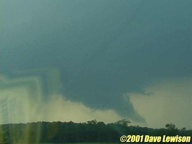
After having followed in the hook of the storm along Rte. 9
for quite some time, we began to pull ahead slowly near the town of Stigler. Just before
town, I noticed an interesting pointy lowering just off the the north of the road (about 1
mile NW of Stigler). This is a contrast-enhanced image. The tornado is the dark area to
the left of the tree. Once in Stigler, our winds switched from NW to S and increased dramatically. There was no doubt in my mind that an intense circulation was just north of town. View here is to the east on Rte. 9. |

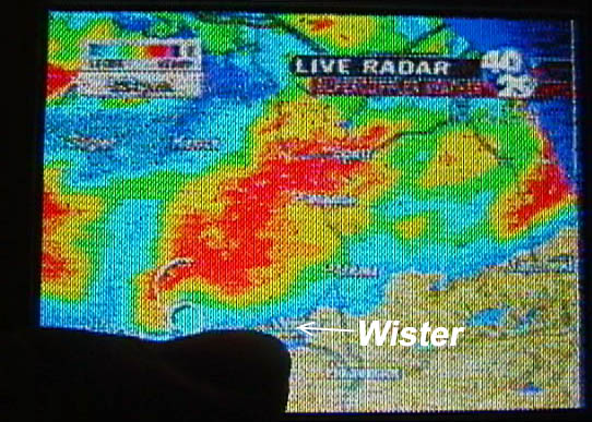 |
We continued following the storm to the east, periodically
getting in front of it to take pictures. You can barely make out the meso here with an
inflow tail off to the background. View here is to the North. The storm appeared to be
turning into a HP hailer with almost no visibility, so we decided to give up and head back
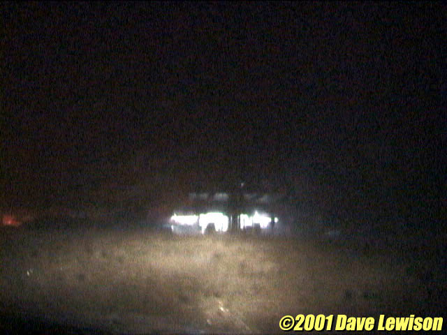
SW towards McAlester. However, we weren't done yet. Heading back west on Rte. 270, we encountered another supercell east of Red Oak. It, too, had a nice looking hook echo. That dark blob is my fat finger pointing at where we were. We stopped in Wister to observe. Unfortunately, it was 9:30 PM and totally dark, and a mountain ridge blocked our view of the base. |
 |
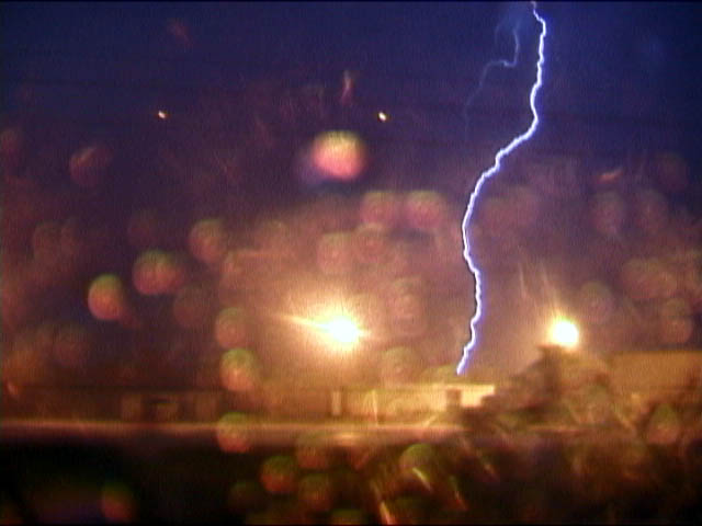
We were treated to very gusty winds, hail, and power flashes though. |
  |
Continuing back west towards McAlester, we encountered another TWO severe storms with frequent CG lightning. |
|
|