
Chasers: Dave Lewison & Cloud 9 Tours
|
May 8: Strong
Tornado Near Yates Center KS Chasers: Dave Lewison & Cloud 9 Tours |
VIDEO: Click for a small 30-sec (3MB) video clip of the Yates Center tornado.
|
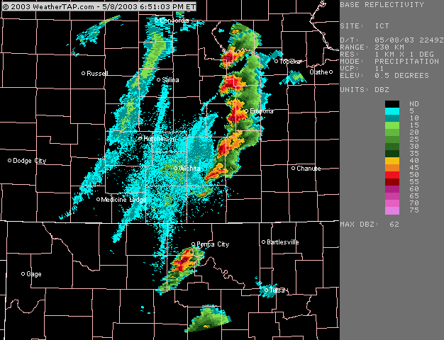
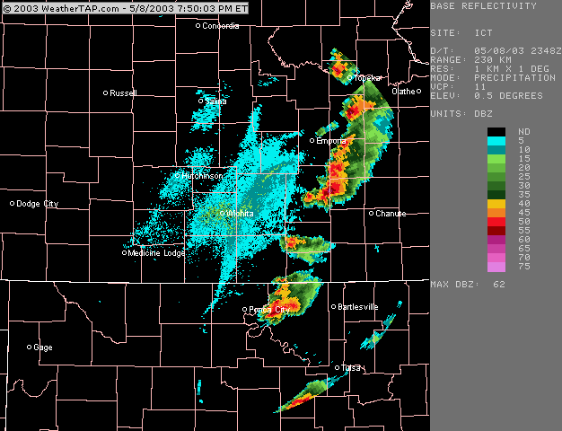
Click any image to enlarge to full size... ANOTHER large tornado on SPC High Risk day. Initial target: south of Topeka KS. Started the day in Kansas City under grungy and cold skies, obviously north of the warm front. SPC had a high risk out for this area, as the warm front was expected to surge northward during the day. We decided to go westward towards the dryline for initiation. Went southwest on I-35 through Emporia and then west towards McPherson. Along the way, noticed some towers beginning to go up to our SW, so we decided to go after them. Caught up with it near Cassoday, where it exhibited a nice rounded base and a clear slot. Unfortunately, there are NO east roads near here, and the storms were hauling northeast at 50mph! In these reflectivity images, our storm formed just east of Wichita. In the image to the right, the storm is just about to put down the tornado that we saw.
|
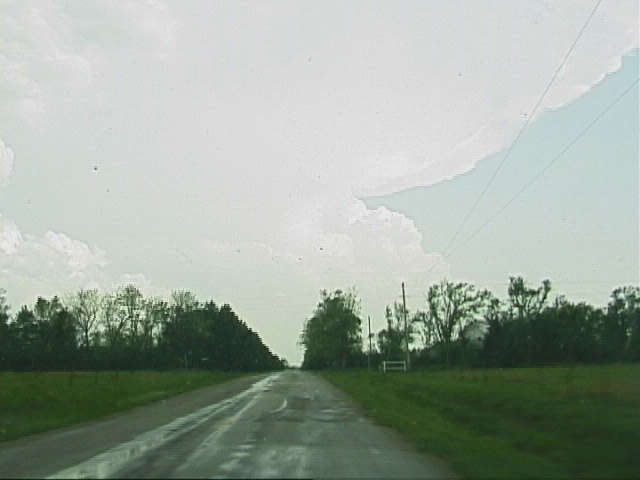
 Initiation just west of Emporia KS. |
 The first cells go up and begin rotating. The southern (left) storm was our target, but poor roads prevented us from getting a good view of the base. |
 Near the town of Matfield Green, we ran across a thick white fog hanging close to the ground. But, there hadn't been hail in the area. I opened my window and was shocked by a really pungent smell. |
 The freight train we had passed moments before had apparently derailed and spilled some unknown chemical, creating a white fog of what turned out to be Sulphur Dioxide! We had to turn around and they later evacuated the town. Anyway, we obviously gave up on that storm. |
Further south, we caught another storm near Rosalia on rte. 54. View looking south. |
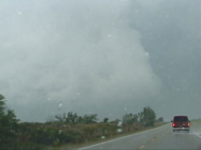
We followed it east and came through the hook to find a violently rotating base alongside 54. The rain was concealing what we were certain was a large tornado. |
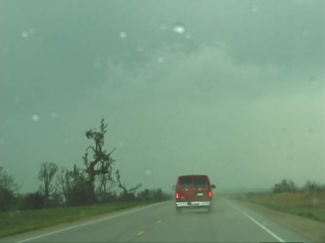 West of Yates Center, we came across a damage path. We finally got ahead of it and pulled north to watch it approach..... |
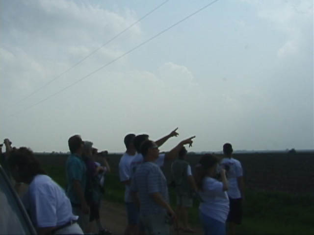
 Our lookout point due south of Neosho Falls. View is to the NNW. |
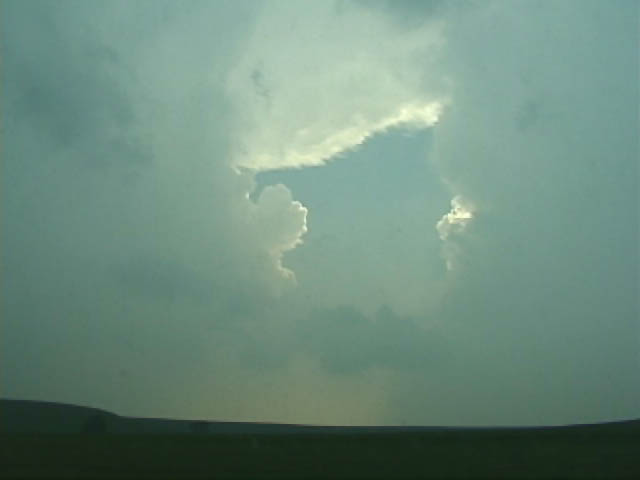
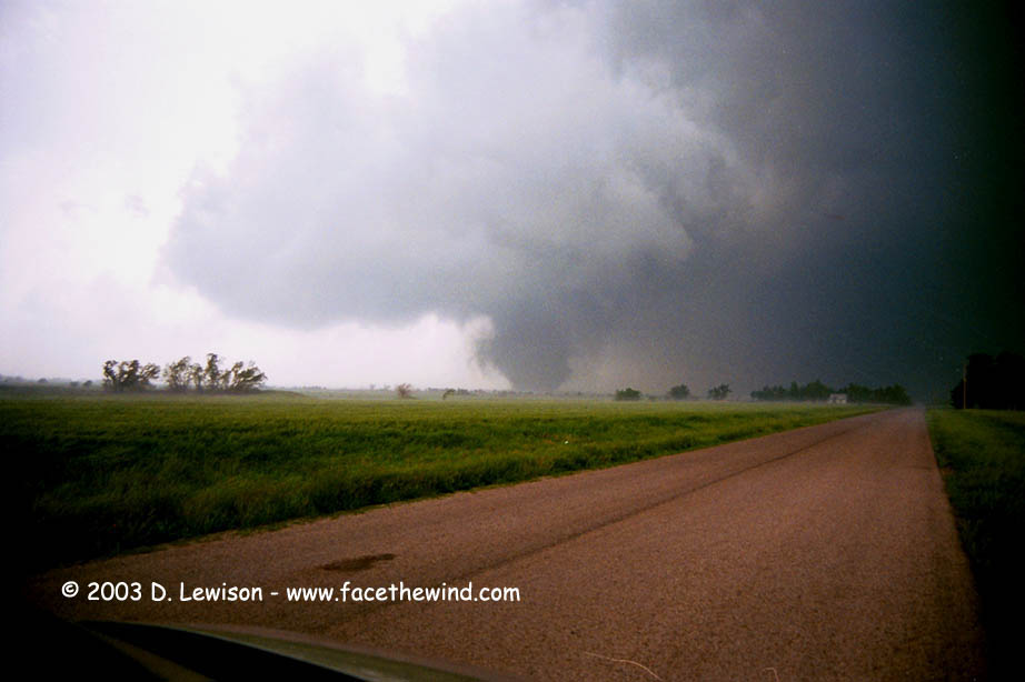
 Tornado gets closer on an ENE track. It was exhibiting violent motion and dirt swirls up the sides. |
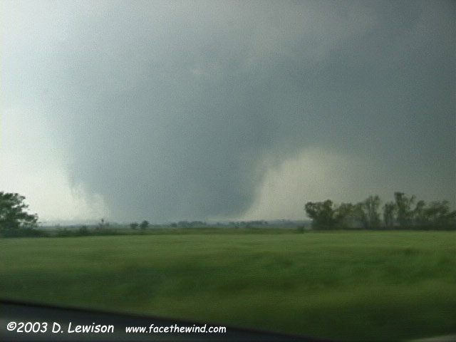 Some precip wraps in and then clears out again. |
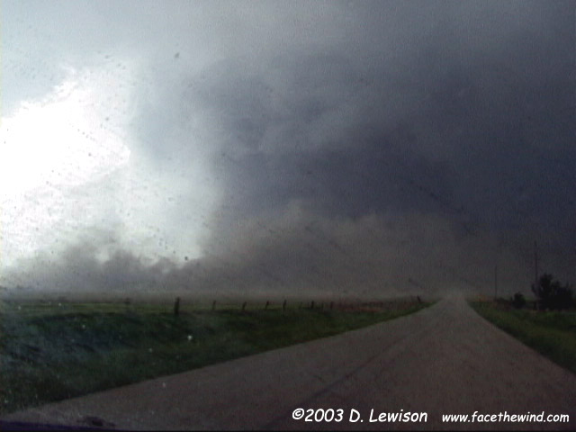 Tornado getting ready to cross the road less than 1/3 mile from us. View is due North. |
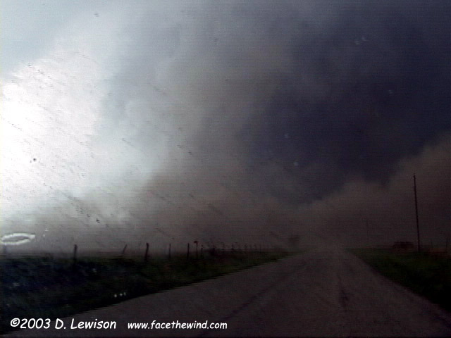 Tornado crossing the road, with intense inflow/RFD jet wrapping around the front side. |
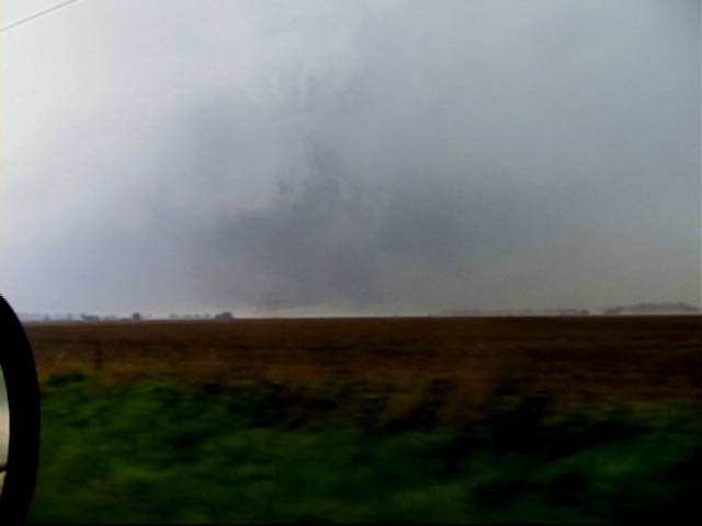 After it passed, the tornado could still be seen churning the dirt fields, partially obscured by whipping rain and dust. |
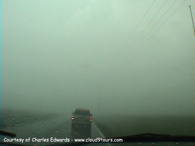
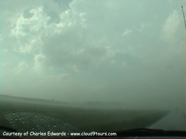
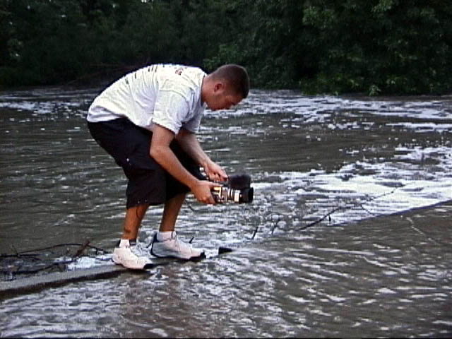 Afterwards, we tried to continue north but couldn't catch up. Our attempt at a damage survey was thwarted by flooded dirt roads. Go Mikey! |
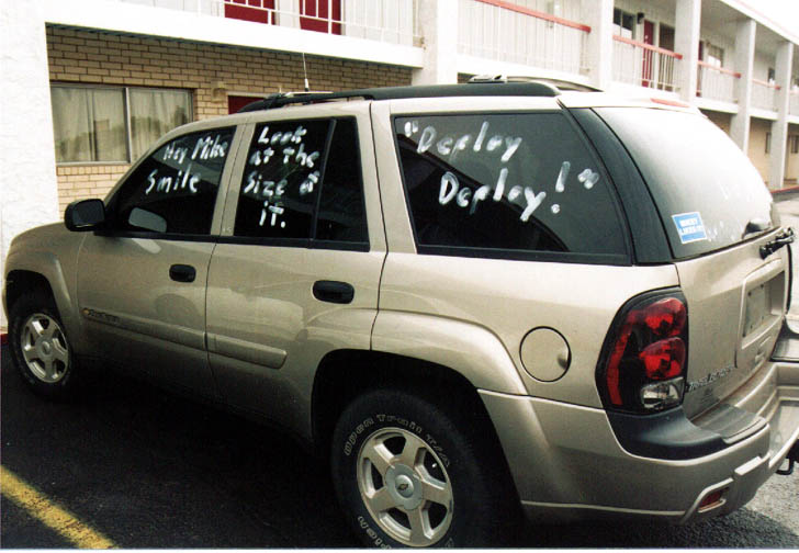
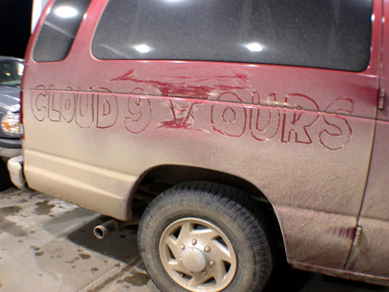 A Dave Lewison original. After this, Charles "hired" me to do all subsequent tornado drawings on our vehicles....either that, or he wanted to frame me for it, so I'd get blamed for decorating Mike's truck on May 15. :) |

Email me at: lewisd2@alum.rpi.edu
